
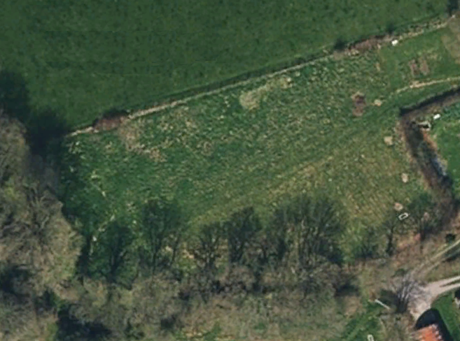
The Ornamental Forest Garden CAD plan, overlaying a satellite photo.
This is the CAD plan for the Ornamental Forest Garden
The Ornamental Forest Garden (OFG) plan is based on a satellite photo, so it should be more accurate than the Forest Garden One, which is based on a digital Ordnance Survey map. It also is created using the excellent Open Source QCAD Professional software. If you like, you can download the PDF or source code files:
- Hi-res, zoomable PDF version of plan.
- DXF CAD version of plan, with background image.