1. Survey
Introduction, survey & wishlists
natureworks.org.uk/talks/wildlifetrust
1. Survey 👀
2. Design 🦄
3. Canopy 🌳
Press P to see notes and credits
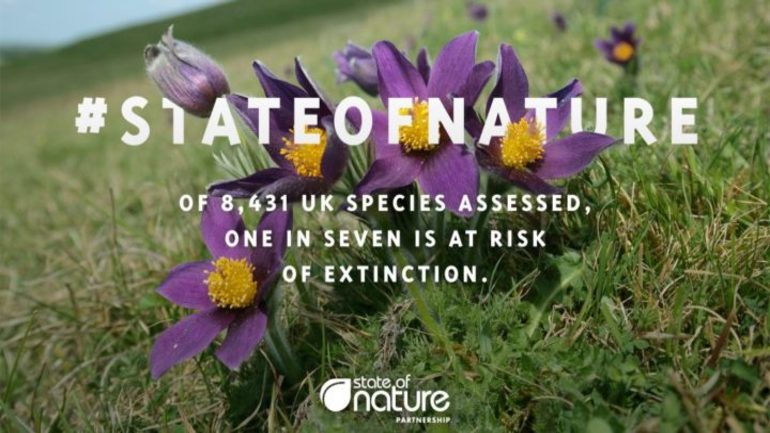
Climate Emergency

Ecological Emergency
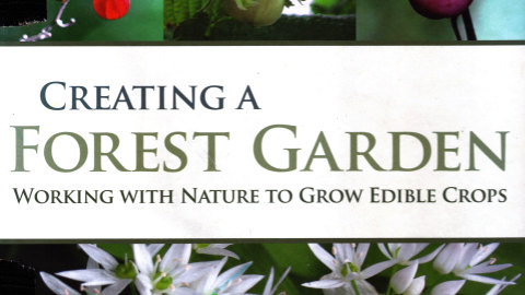
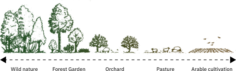
Forest garden definition
“Work with nature
to grow edible crops,
emulate woodland edge using
perennial & ground cover plants”
Edible ecosystem

“Grow edible crops
in a wildlife garden”
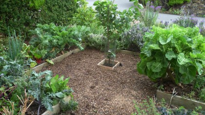
Characteristics
- Sustainable
- Productive
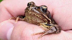
- Wildlife friendly
- Layers
- Perennial
Map

- Work out your scale!
- 1:50 means 1m = 2cm

1. Position

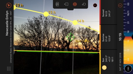
- Orientation
- Elevation
- Slope
2. Elements
- Water
- Earth
- Wind
- Sun
- Climate
3. Features

- Wildlife
- Utilities
- Structures
- Access
4. Situation

- Privacy
- Noise
- Pollution
Features wishlist

- Wildlife
- Water
- Nutrients
- Seating
- Structures
Plants wishlist
- Forest Garden Spreadsheet
- Plants For A Future
- Plant Atlas
- RHS with native filter
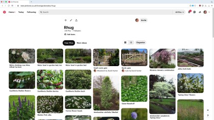
- Pinterest for pictures
